Solution
People Tracking
Who is on site, which zone they are in, and how they find their way around it.
Overview
Two kinds of people move through a building, and they need opposite things. The people who work there should be accounted for without being asked to stop and prove it. The people visiting should be able to find where they are going.
Both run on the same beacons and gateways, so a site that puts the estate up for one gets the other for the cost of the tags.
Tracking the people who work there
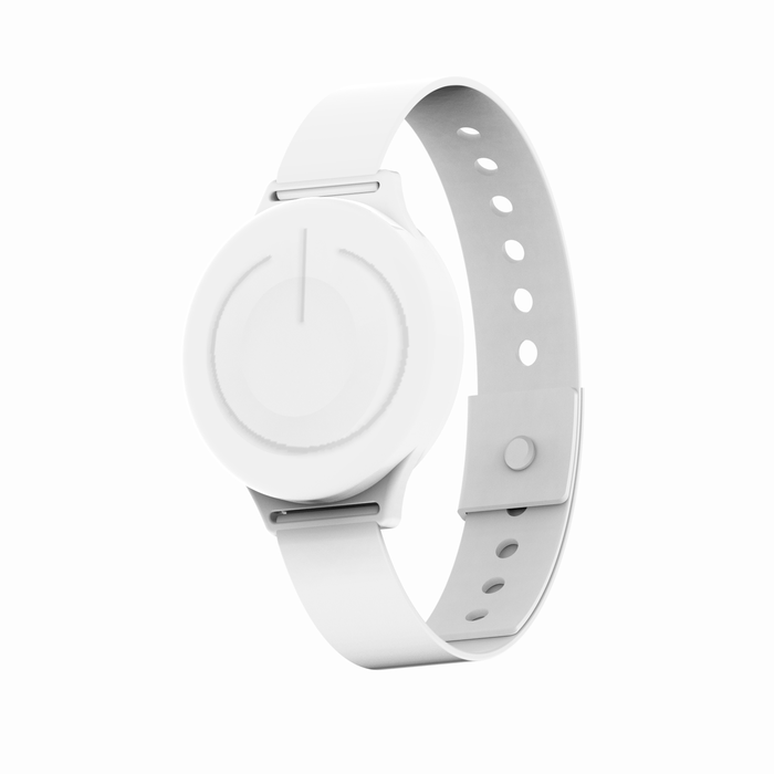
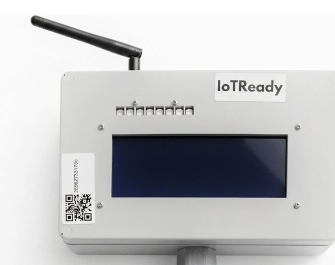
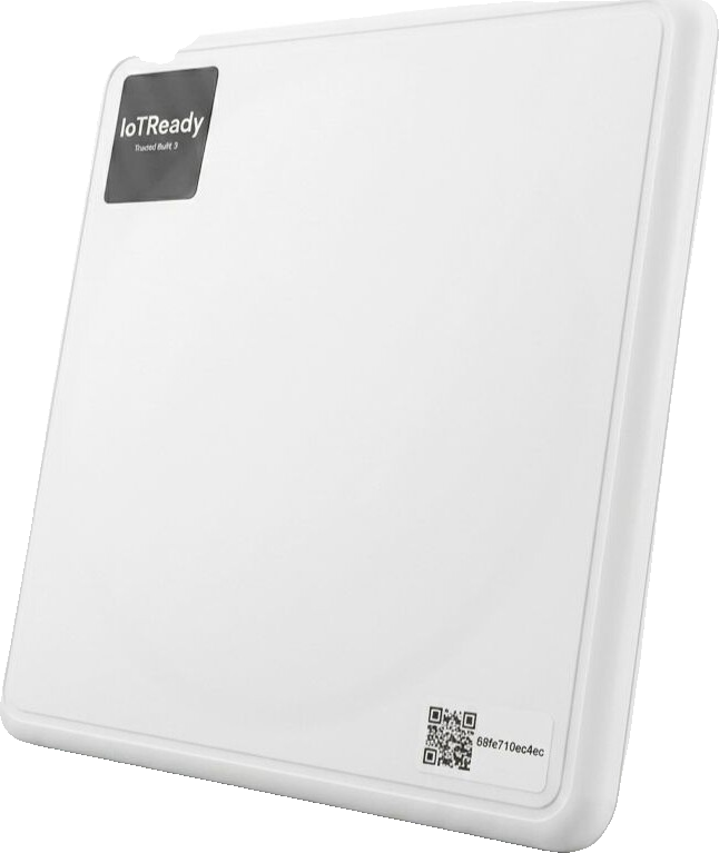
Workers carry a tag: a BLE ID card, a wristband, a lanyard, a keychain fob, or one stitched into a uniform where compliance has to be automatic. RFID readers at entry points catch the crossings, BLE gateways watch presence inside a zone, and neither asks anyone to swipe anything.
That covers a handful of jobs that are otherwise done by hand:
Attendance. Entry time, exit time and duration per person per zone, recorded by walking through the door. Late arrivals and no-shows are flagged as they happen instead of at the end of the month.
Restricted zones. Define who may be where, and during which hours. An unauthorised entry raises an alert naming the person, the zone and the time. The readers carry a relay, so they drive a door or a barrier directly.
Emergency mustering. During an evacuation the dashboard shows who is still inside and where. The headcount updates as people pass the exit readers, so somebody missing is known in seconds rather than through a roll call.
Audit presence. Pharma and food plants have to show that only trained, authorised people were in a controlled area while a batch ran. The presence record is timestamped and attaches to the batch.
RFID
- Zone level, read at the doorway
- Up to 10 m
- Check-in and check-out
- No battery in the tag
- Readers at access points
BLE
- Room level, 1 to 3 m
- Up to 100 m
- Continuous presence
- About three years on a cell
- A gateway per zone
Most sites run both. RFID at the doors it already has, BLE in the zones where knowing someone is inside matters more than knowing they came in.
Pharmaceutical plants use it for cleanroom access and GMP zone compliance. Factories use it for safety zones, contractor tracking and shift attendance. Campuses use it for student attendance and visitor management.
Wayfinding for everyone else
Big venues are hard to walk. A convention centre, an airport, a hospital, a mall: people miss their turning, arrive late, and give up looking for the thing they came for. GPS is no help once you are inside, and no help at all when what you want is two floors down.
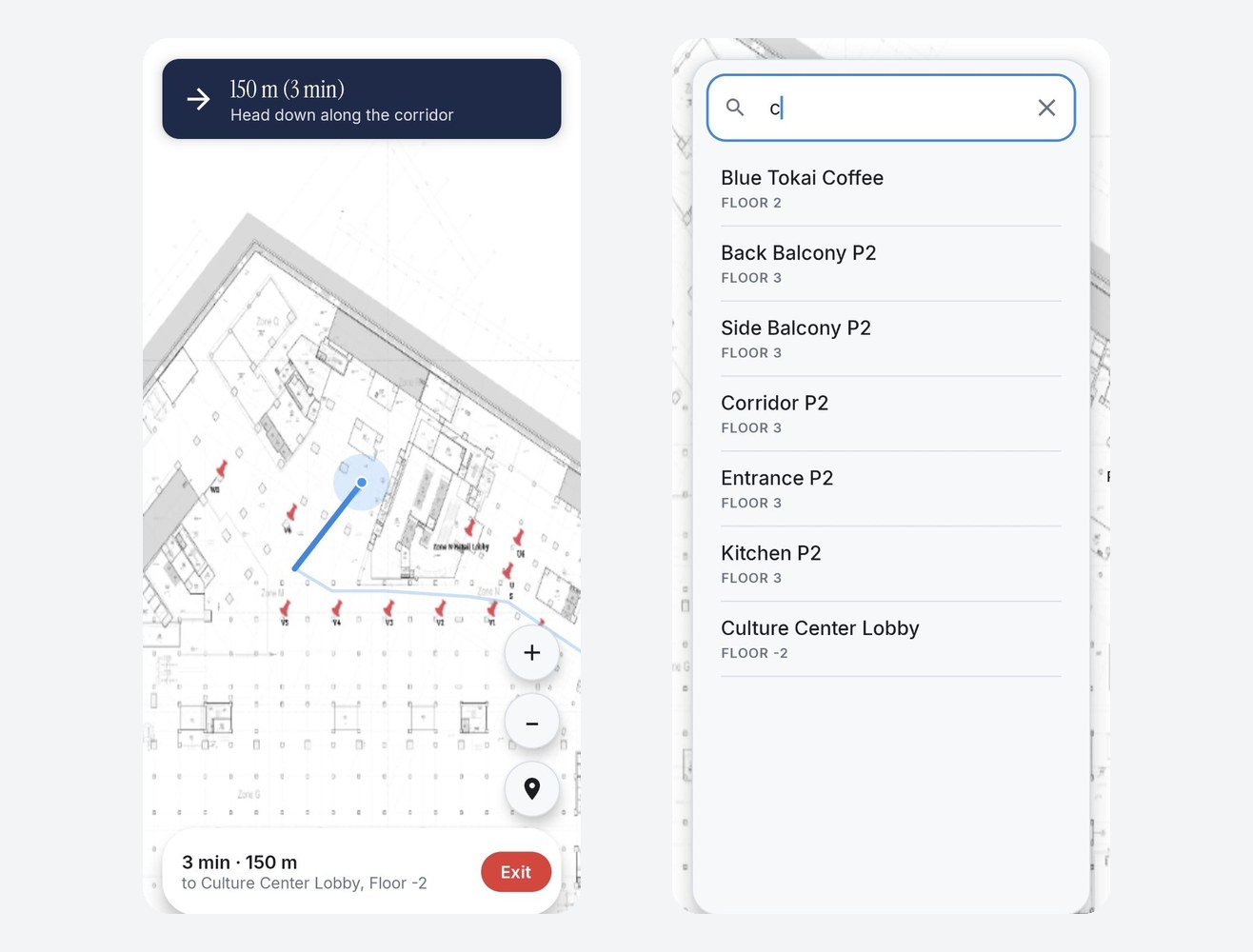
Wayfinding puts a blue dot on your own floor plan and moves it as the visitor moves. After that it works the way everyone already expects a map to work. Search for where you are going, follow the line, arrive.
0
Apps to install
2s
How often the dot moves
Both
iOS and Android, from a tap or a QR code
Nothing to install
A visitor scans a code at the entrance and the map opens. No download, no account, no setup. On iPhones it opens as an App Clip, on Android as an app that arrives from the same tap. Both feel like a website and behave like an app.
Once they are on the map
Knowing where a visitor is standing makes a few other things easy.
Offers land when they are useful. A cafe promotion means something to someone who is twenty metres from the cafe and nothing to someone in the car park, and the map knows which is which.
Regulars are recognised without a login. Nobody is asked to sign up, and the venue still gets to tell a first visit from a fifth.
Help has an address. A visitor who taps the safety button shows up next to a named pillar on a named floor, and your team is told which one.
And you find out how the building is really used: where people gather, where they stall, which routes nobody takes.
Your building, your map
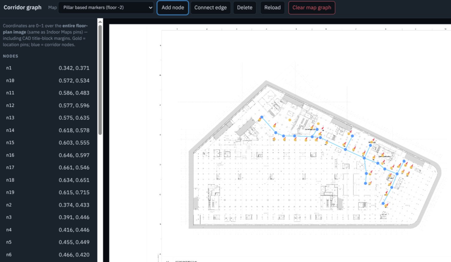
The plans you already have are the ones we use. Points of interest get your names, routes follow your corridors instead of cutting through walls, and adding a new shop or moving an entrance takes an afternoon.
The hardware is one small thing
Beacons go up on ceilings or walls, run on a battery, and need no wiring and no network of their own. Each one carries a QR code, so putting the estate on the map is a walk around the building with a phone rather than a survey crew and a licence fee.
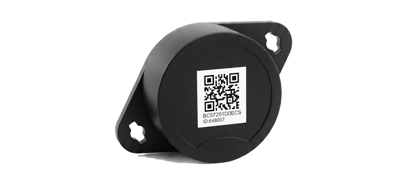
They are ordinary Bluetooth beacons in a standard format, so the estate stays yours to add to or replace. If you already have beacons in the building for asset tracking, they will do this job too.
The model
Identity + Quantity + Context = Truth
Three inputs. Get all three at the moment of movement and the record needs no reconciling afterwards.
- Identity
- A BLE ID card, wristband, lanyard or in-garment tag on a worker, or the visitor's own phone.
- Quantity
- Presence and dwell per zone, read continuously rather than signed for at a door.
- Context
- The zone, the shift, the batch being run and the authorisations the person carries.
What captures it
Next step
Tell us what you are trying to trace.
Describe the flow: what arrives, what happens to it and what leaves. We will tell you what it takes to capture it.
or write to sales@iotready.com